


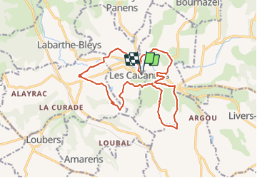

11.2 km | 14.6 km-effort


User


FREE GPS app for hiking
 SityTrail
IGN / Geographical institutes
SityTrail World
The world is yours!
Trail On foot of 18.4 km to be discovered at Occitania, Tarn, Les Cabannes. This trail is proposed by tercla.
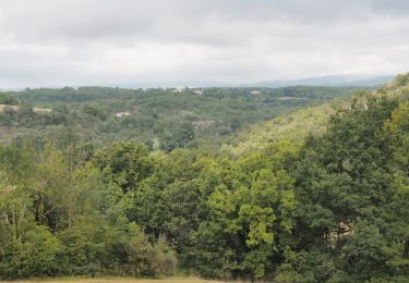
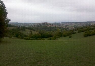
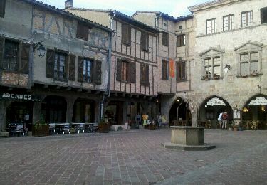
De l'éperon rocheux sur lequel se dresse la cité de Cordes au vaste plateau qu'elle domine, cette jolie balade tourne autour du village qui a gardé sont caractère médiéval exceptionnel.

Walking
Walking

Walking
Walking
Walking
Walking

Mountain bike

Mountain bike